1、启动ENVI Classic

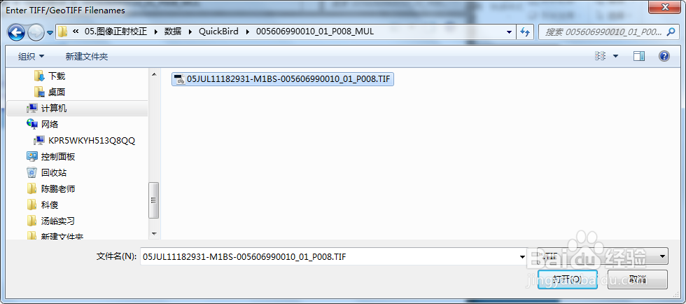
2、打开数据:file/open external file/quick bird/geotiff

3、继续打开要用的DEM数据和参考数据

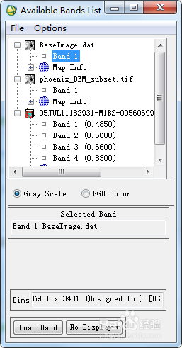
4、在band1处右键,将数据加载到新的视窗中

5、参考数据绑定DEM数据,在参考数据上右击,点击edit header/

6、点击编辑属性,点击associate dem file


7、确定,之后窗口会自动关闭,需再次打开

8、将待校正的图像也打开

9、map/orthorecti酆璁冻嘌fiction/quick bird/orthorectification quick bird with ground control,选择待纠正图像

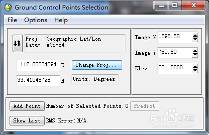
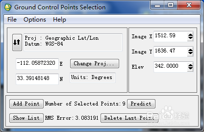
10、点击OK,进入控制点输入面板
11、options/orthorectification file

12、点击OK,进入参数设置面板

13、点击OK,开始纠正

14、纠正结果

